Geographic Mapping Image
Geographic Map Location and Image

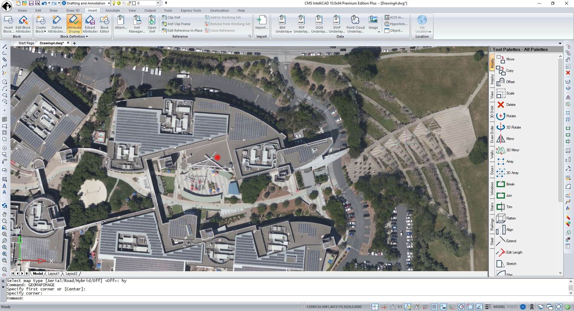
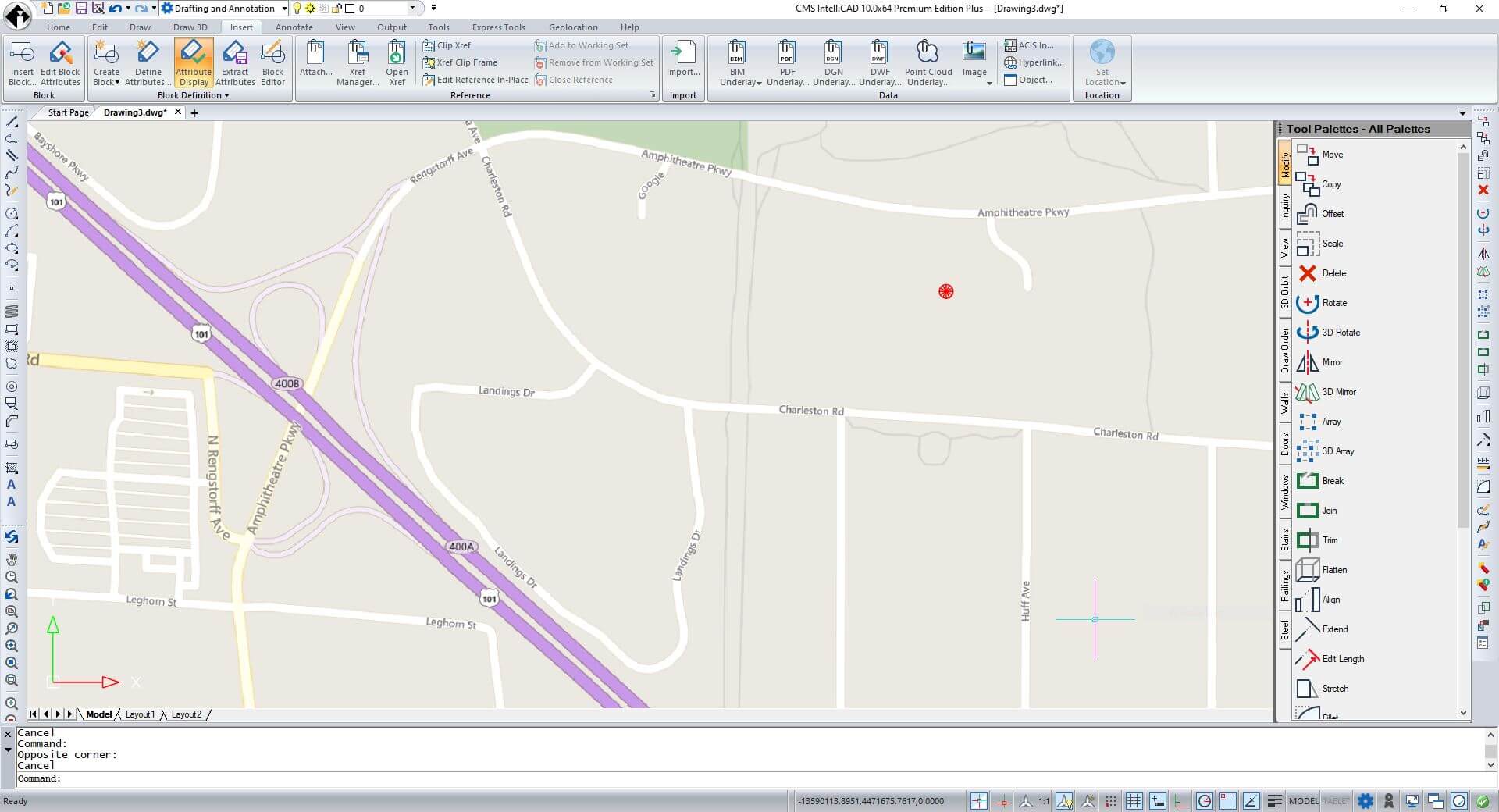
CMS IntelliCAD supports Geographic Location and Geographic Maps. It's now able to set geographic location data to the drawing. Users can either choose a file to set the geographic location using data from a .kml (keyhole markup language) or .kmz (compressed KML) file. The first location mark defined in the selected file is used to place the red geographic marker in model space. Alternatively, choose to locate the geographic marker by specifying its latitude and longitude.
Geographic Map can either be set as Aerial, Road or Hybrid. Users will be then able to retrieve and insert a geographic map image rectangular frame from the internet using GEOMAPIMAGE command.
Geographic Map image resolution can also be set from coarse to very fine.


